Skypacking Ladakh : Day 06: Tairi La Base Camp (4800 m) - the suspense before the high pass
15th July, 2024
Route : Gya (4100 m) to Tairi La BC (4700 m)
Distance : 7 km
Elevation gain: 700 m
In 2023, I completed a 200 km hike connecting Stok (3500 m) to Tsomoriri (4500 m). The hiking route went through 11 high-altitude mountain passes and 3 alpine lakes. After finishing that trip, I was looking for more options around the Ladakh Mountain Range. I came across a mountain pass called Tairi La (5870 m) and was shocked by the altitude of that crossing. Tairi La (5870 m) connects the isolated hamlet of Dat (4300 m) with the village of Gaya (4100 m) on NH3.
The approach looked pretty long. I started looking for any references to Tairi La on the internet but could not find anything at all. I asked a few experienced hikers in Ladakh, and no one had any information about Tairi La. That’s when I decided to add Tairi La to the Skypacking Ladakh plan for 2024.
The plan was to break the Tairi La hike into two parts. On the first day, we would start in the afternoon and hike for 3-4 hours, camping at an altitude where we could sleep comfortably.
We ate lunch at Nawang Homestay. We packed some vegetable rice for dinner and took chapattis that we could eat with peanut butter the next day for breakfast. Furthermore, we were a team of three individuals (me, Pete, and Artik). Vishal had left for his solo trek from Rumtse to Tsomoriri.
We hitchhiked to Gaya (4100 m) in a truck and started hiking around 1:45 pm. We came across an individual who knew about Tairi La. He said that he had crossed the pass when he was a kid. People used to cross the pass with horses to transport supplies (grains, wood, etc.) from Gaya to Dat and vice versa.
We were really happy to know that people do know about the pass. It is just that now Dat is connected to NH3 through a road, so Tairi La (5870 m) serves no purpose for the people in the Dat valley. Gaya already has NH3 running through it, so there is no motivation for the people to cross a 5870 m pass.
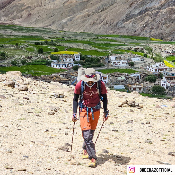
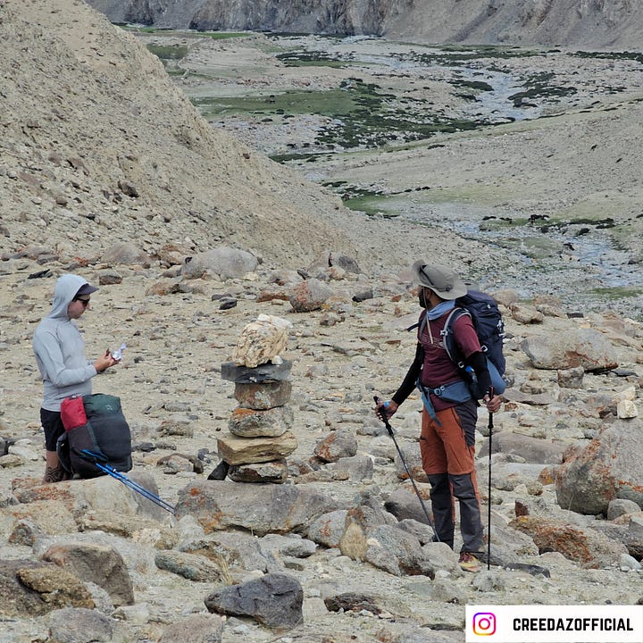
We started hiking using the old Survey of India map. We had a trail reference, and the initial section of the trail led us through a windy open scrub. Furthermore, we were able to spot cairns at regular intervals and also saw yaks and sheep grazing along the Pholung Nakma (river stream). After hiking for 3 hours, we reached a shepherd's camp at 4800 meters. We had hiked 7 km and gained 700 meters.


While planning for the trek, I was able to identify this shepherd camp at 4800 meters using the satellite layer in OpenStreetMaps. We decided to camp here, as it would make the next day easier with only 1200 meters of climbing left to reach Tairi La.
It was too early to camp, but we decided to set up early so that all three of us would be well-rested before the big push. The camp was on an east-facing slope, which meant we would have an early start the next day.


We pitched our tents inside the camp so that the stone walls around us could help break the wind. We had our dinner (packed food) and went to sleep by 8:00 pm. Furthermore, we could hear the sound of Pholung Nakma throughout the night. I woke up in the middle of the night to pee. It was cold, but the sky was filled with a zillion stars.


I quickly crumbled into my quilt and fell asleep.
On each day of this hike me and Pete recorded a podcast sharing a summary of the day. We named it Tent Talk. Sharing the audio podcast here.
Tips:
Nawang Homestay: 9469570996 (WhatsApp), 9622004887 (calling)
Only Airtel postpaid or Airtel prepaid (Ladakh SIM) works in Lato.
Prefer a clear weather day.
Acclimatize well.
Carry a water filter to drink water from the Pholung Nakma (water stream).
It is better to do Tairi La in two days due to the ascent (from 4000 m to 5870 m).
The landscape is windy, so carry lip balm and moisturizer.
If you wish to learn how to execute these treks in a DIY style, check out the DIY Trekking Field Course, where I teach all the important modules that can help you become an independent hiker.


