Skypacking Ladakh : Day 07: Tairi La (5870 m) - The Big Crossover.
16th July 2024
Route : Tairi La BC (4700 m) to Dat (4300 m) via Tairi La (5870 m)
Distance: 32 km
Elevation gain: 1190 m
The word 'Ladakh' translates to 'The Land of High Passes.' While scanning through the old Survey of India maps in the winter of 2023, I came across Targang La (5930 m). This is the highest mountain pass I have ever encountered, which motivated me to keep looking for these lesser-known high passes of Ladakh.
Tairi La (5870 m) quickly joined the list, and I was super excited to hike to the pass. I just wanted to stand on top and look around. I woke up at 06:30 am and looked out from the tent. The sky was very clear, with not a single cloud in sight. It felt like a sign from the mountain gods for an easy crossing over the pass.
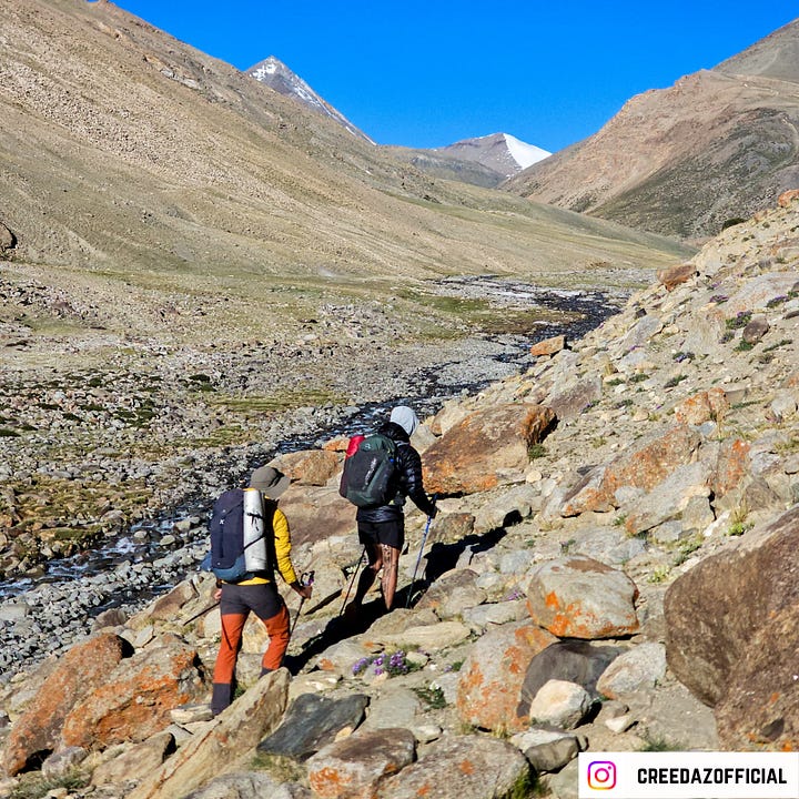
We quickly wrapped up the camp, following the leave-no-trace principle. We had roti with peanut butter for breakfast and started hiking by 07:35 am. The first 5 km was a gradual slope up to 5300 meters. We came across a shepherd camp at around 5000 meters. I spotted some peaks in the valley that I would love to speed hike to in 2025.


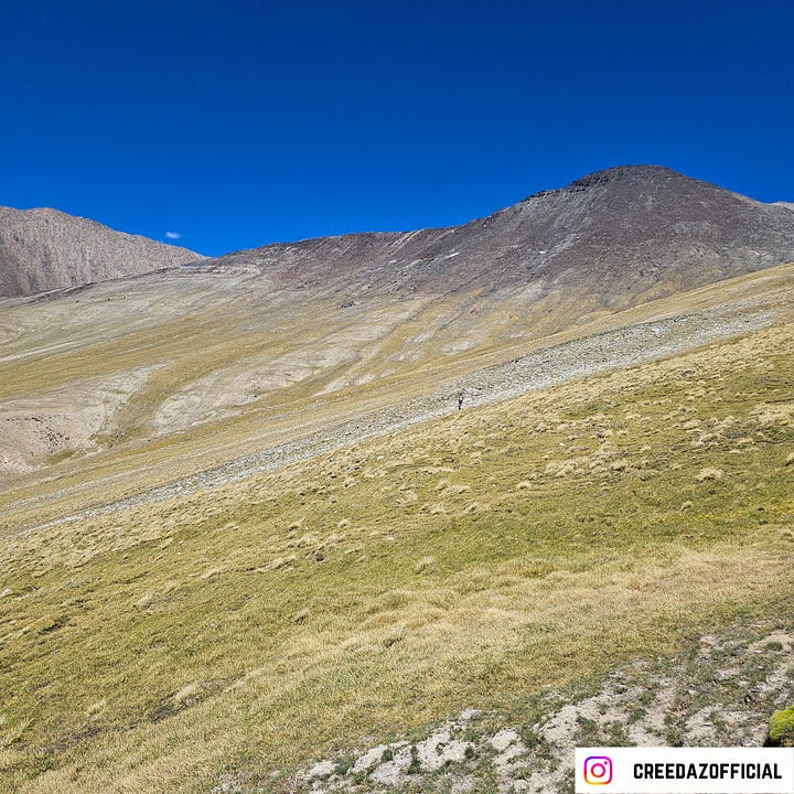
The steep climb to the pass begins once you leave the Pholung Nakma river stream. The trail has not been used for decades, but I was happy to see a thin path with cairns placed on every small curve. I was able to spot blue sheep and yaks at around 5300 meters.
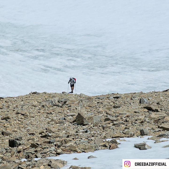
I felt really strong hiking up through the moraine section above 5400 meters. Tairi La has a big snowfield on the north-facing slope. Though the trail passes through the moraine, I felt that walking on the north-facing snow slope would be easy and enjoyable.
I had a great time hiking through the snowfield. There are no crevasses, and the slope is gradual. I reached the top of the pass by noon. The views were just phenomenal. The peaks on the other side had big north-facing glaciers.


I quickly took some aerial shots and was blown away by the number of peaks visible from the pass. My co-hikers joined me after 20 minutes, and we all sat at the pass for almost half an hour. Tairi La (5870 m) was marked by a small pile of stones, and one could see the old flags buried under the stones.
The trail on the other side takes you down to the Karlok Tokpo valley via a series of switchbacks. The trail mostly comprises scree. There is a big glacial lake at 5500 meters. I have yet to decide on a name for the lake and map it.


The next unique thing about the descent is that even after hiking for 3 hours, you will stay above 5100 meters. The trail drops very gradually into the Numpel Naala. The landscape is windy, and the long descent (above 5000 meters) made things tricky for us. All the shepherd camps were in a dilapidated state, which clearly showed that no one was hiking to Tairi La from the west side.
After a long, gradual descent, we finally reached the confluence of Numpel Nala and Chamarche Tokpo (4400 meters). Our initial plan was to camp at Samartse (4500 meters), but we decided to go to Dat (4300 meters) instead.


We were told by the Aacho at Nawang Homestay in Lato that Dat has a 600-year-old gompa of the Drukpa sect, and we must visit it. We took a long break at the confluence and decided to extend the hike and go to Dat. We were pretty surprised to see a jeep track going along the Chamarche Tokpo. We covered about 5 km on the jeep track and reached the confluence of Chamartse Tokpo and Dat Tokpo.
We hiked for another hour on an unpaved road to finally reach Dat (4300 m). We came across two guided hiking groups who had come to Dat from Hankar via Zalung Karpo La. Dat has about 6-7 houses, but none of them were occupied as the people are nomadic, and all the residents (12 families) had gone beyond the Kharnak Valley to graze their cattle.


There are usually two monks who reside on the campus of the Dat Gompa, but one of them has gone to Leh. We met the remaining monk, and after some initial hesitation, he let us stay in one of the Gompa buildings. There was no need to pitch the tent. He even gave us three beds, so we just used our sleeping bags to sleep.
It was nice of him to cook some dal and rice for us. We all sat together and talked for almost 2 hours. The 23-year-old lama belonged to the village of Tia (3400 m) and had been posted at the Dat Gompa for the last 3 months.
Dat village has a satellite phone that can be used in emergencies. We saw a good number of workers (labourers) who were there to construct a guest house and a library near the Gompa.


After the delicious food and wholesome conversations, we went to bed at 10:00 pm. It was a long but fulfilling day.
The plan for the next day was to start a little late (around 09:30 am) as we had a road section (14 km) that we hoped we could hitch-hike
On each day of this hike me and Pete recorded a podcast sharing a summary of the day. We named it Tent Talk. Sharing the audio podcast here.
Tips:
Prefer a clear weather day to hike.
Acclimatize well.
Carry a water filter to drink water from the Pholung Nakma (water stream).
It is better to do Tairi La in two days due to the ascent (from 4000 m to 5870 m).
The landscape is windy, so carry a lip guard and moisturizer.
The descent is long and tiring, so do not drain yourself hiking up the pass.
If you wish to learn how to execute these treks in a DIY style, check out the DIY Trekking Field Course, where I teach all the important modules that can help you become an independent hiker.


